10 Jan High Peaks and Balconies Loop, Pinnacles National Park


guides // backpacking // southern california
High Peaks-Balconies Loop, Pinnacles National Park, California
Sadly, backpacking is not allowed in Pinnacles National Park, but you can connect a bunch of trails to make one mega-day-hike that takes you through all the coolest parts of the park. Pinnacles is the closest National Park to the San Francisco Bay Area (where we lived for two years), so when the weather was bad everywhere else or we wanted a quick trip, we headed to Pinnacles. The park itself is really beautiful: lots of climbing to be done, California Condors to be spotted, and vistas to eat lunch in front of.
Quick Notes
Pictures taken March 2017 & September 2017
Total Distance: 12.5 miles
Elevation Gain: 2,150 feet
Difficulty: Medium
Days: 1 Day
Hike Type: Loop
Trailhead: Bear Gulch Trailhead
Seasons: All, VERY hot in summer
Permit Requirement: No
Camping: Car camping only
Map: Free map from the visitor’s center
Water: Pack in all water


When to Go
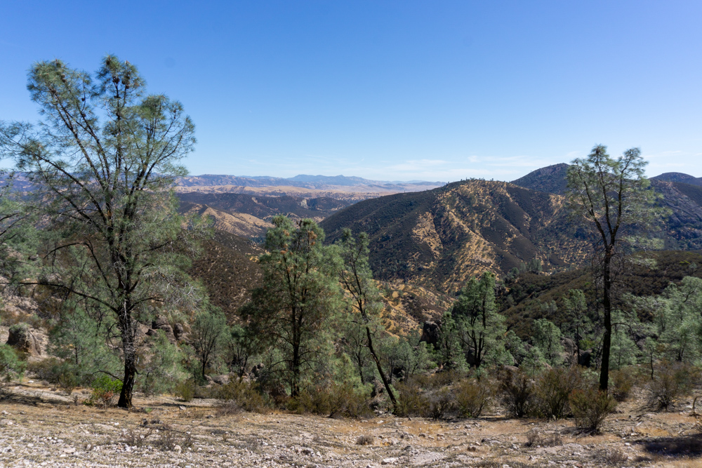
Summer is very hot here. Pinnacles is located in California’s Central Valley, which is the rural, flat area between the Coastal Range and the Sierra Nevada. The Central Valley gets very hot — like ‘highs of 115 degrees’ hot. When we tired of the climate-less 60 to 70 summers in the Bay Area, we came out here to roast in the sun.
For a more mild experience, you can go to Pinnacles during any other season. Temperatures start cooling off in October and warm back up in May. It’ll be more crowded in the spring and fall when the weather is nicer so an early start is important for getting away from crowds and scoring a car camping spot inside the park. Pinnacles is only an hour and a half from Palo Alto (aka Silicon Valley), so you’ll see a lot of people driving up for the day.

Trip Cost
Park Entrance Fee*
Camping Fee
$30/vehicle
$30/campsite (bring cash for easier paying)
*If you know that you’re going to be going to a national park more than three times in a year, it’s worth it to buy a National Parks Pass. They’re $80 and sold online, at all REI locations, and National Park Visitor Centers.

Before You Go
If you want to car camp and have enough foresight to reserve a camping spot, your trip will be a lot smoother than ours. We usually showed up and hoped for the best. You can reserve a campsite at Pinnacles’ only campground through Reserveamerica.com and reservations can be made up to 6 months in advance. There are 150 spots and 15 of them are first-come-first-serve. It’s an absolute battle getting one of those 15 spots in the morning (more on that later).
Other than that, you may want to buy a map, but I thought the free map from the park was detailed enough to take us everywhere we wanted to go.

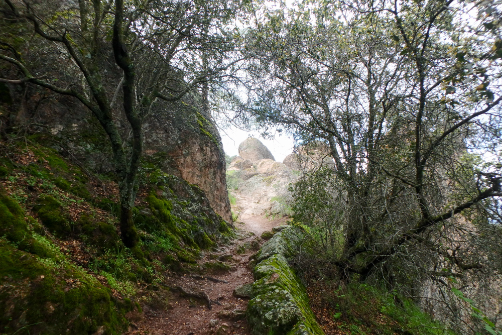
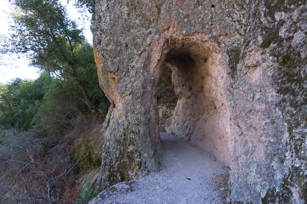
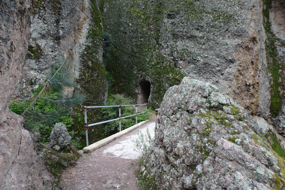
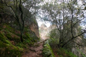
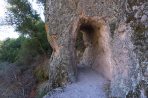
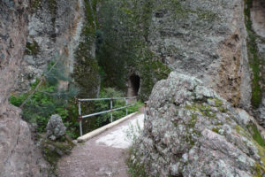
Tunnel through a massive rock formation.

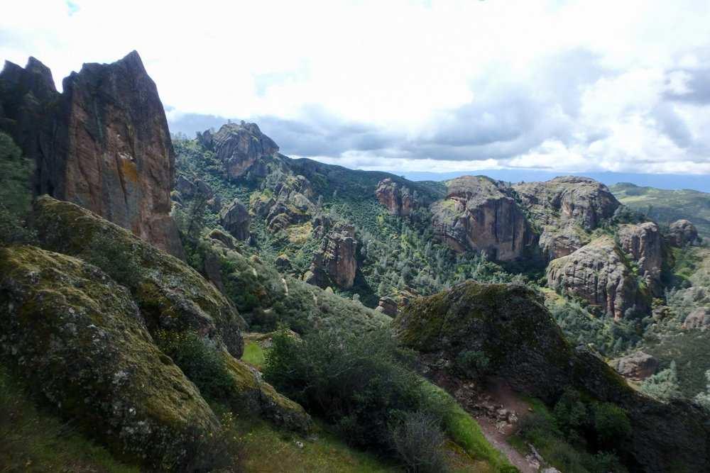
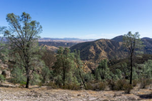
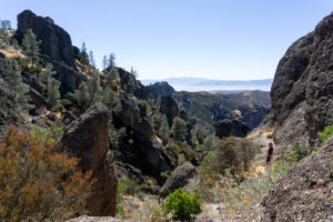
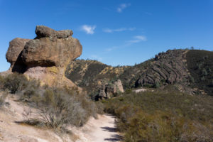
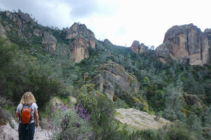
Back view of the High Peaks from the Condor Gulch Trail.

Getting There
Pinnacles National Park has two entrances: one on the east side and one on the west. There’s no road through the park connecting the entrances so you pick one entrance and hike the stuff around it. The good news is that the park is so small that you can actually hike from one entrance to the other. It’s a long hike but it’s a really good one.
If you want to camp within the park, Pinnacle’s only campground is located at the east entrance. You can actually park your car at your campsite and hike the whole park from there. Or you can take the shuttle from the campsite office to nearby trailheads. The nearest campsite outside the park is San Lorenzo Park Campground which is about a 45 minute drive south from the east entrance.
At the west entrance there’s a semi-large parking lot at the end of Highway 146. You park in the lot and hike from there. The only challenge is actually finding a parking spot because the west entrance is so busy.
The east entrance is a bit more complicated. There are small parking lots at all four trailheads, but the parking lots fill up very fast on weekend mornings. When the lots fill up, park rangers close the lots and divert people to the free shuttle service for transportation. The shuttle picks up hikers at the visitors center next to the campground. At the visitors center there’s a bunch of overflow parking and a fully stocked general store with an impressive souvenir selection.
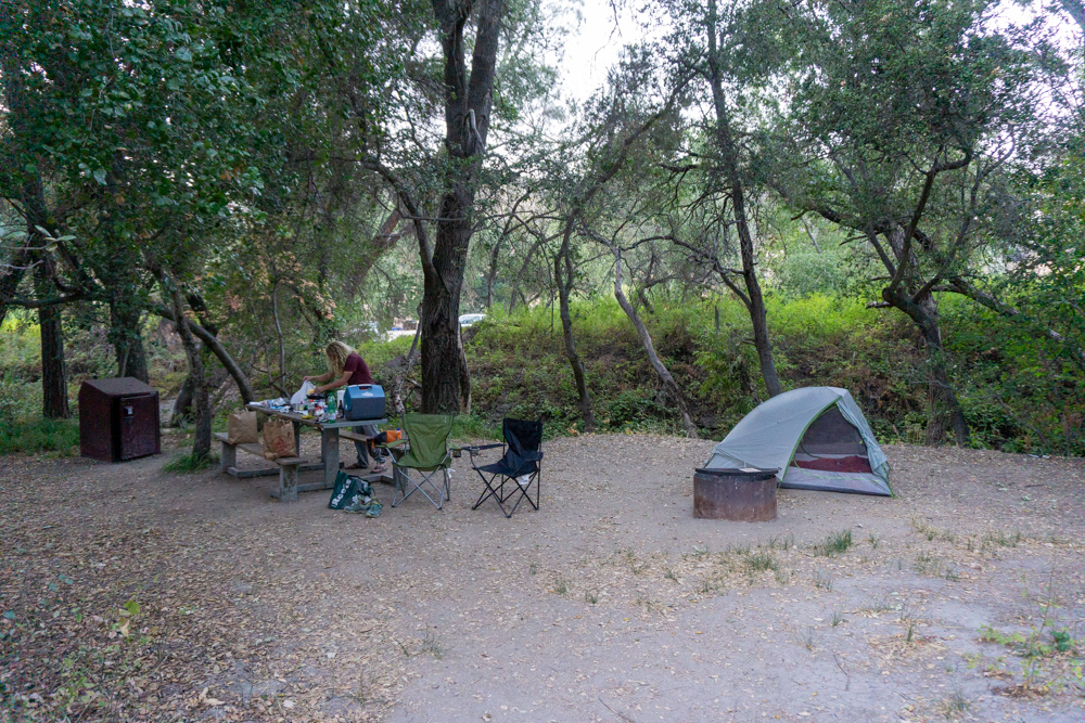
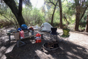
Camping
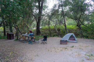
As mentioned, getting camping here is quite the battle. If you have reservations, all is well — you can skip this section. If you don’t have a reservation, prepare for a little stress and try to have a back-up plan if you don’t get a campsite. There’s only 15 first-come-first-serve so competition is pretty stiff. Our back up plan was always to drive back home since the park was only a two hour drive away. As mentioned, the San Lorenzo Park Campground is about a 45 minute drive south from the east entrance.
First things first, what do you have to do to get a first-come-first-serve campsite at Pinnacles? Plan to arrive very early — 7 am is usually a good start. Also, bring $30 in cash or a checkbook. Then drive around the campsite (quietly, there’s still people sleeping) and look for empty spots. When you find an empty spot, check the erasable board on the wooden post for information about the campsite. The erasable board will either say that the campsite is first-come-first-serve or the dates that the campsite is reserved for. If it’s first-come-first serve and you like the spot, leave your car in the spot (to show other people that the spot is taken) and walk to the camp store to fill out a campsite pay slip. The pay slips are in a kiosk on the right side of the camp store and visitors center.
This is where the cash or checkbook become very handy. If you bring enough cash, you can pay right there and go about your day, drama-free. If you didn’t bring cash and have to pay with a card, you’ll have to wait for the camp store to open, jockey with others to be the first one in line and then hope there are still spots left after the people with cash already got their spots. The campground operators process all the pay slips in the kiosk first.
On our first visit, we didn’t have cash and getting a site was extremely stressful. I had to sit at the camp store and watch cars stream in to the campground while Dylan sat in the car “defending” our campsite. I think we ended up with either the last spot or the second to last spot.
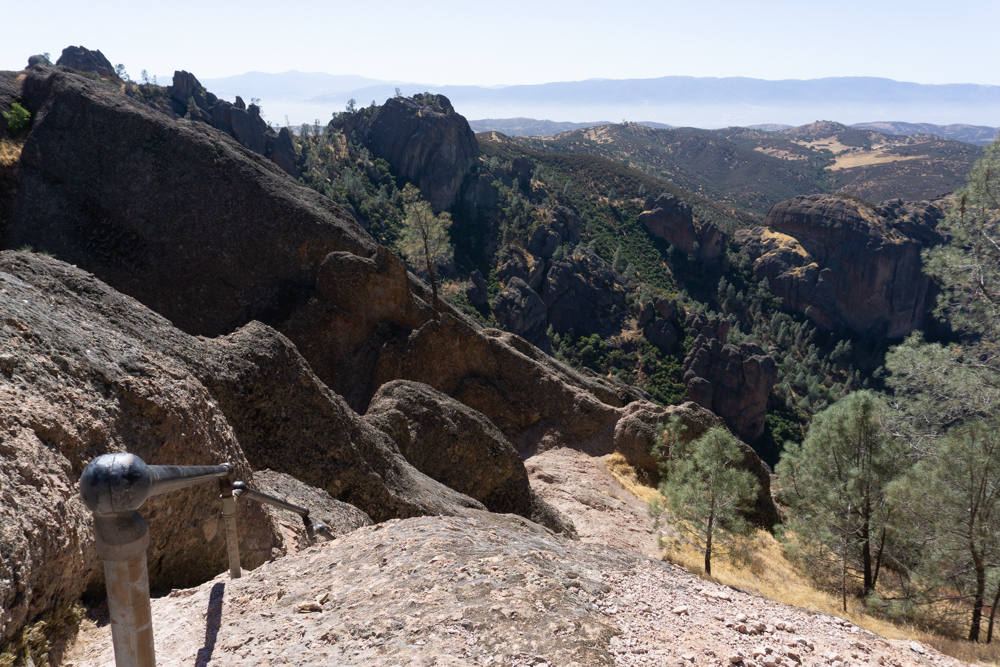
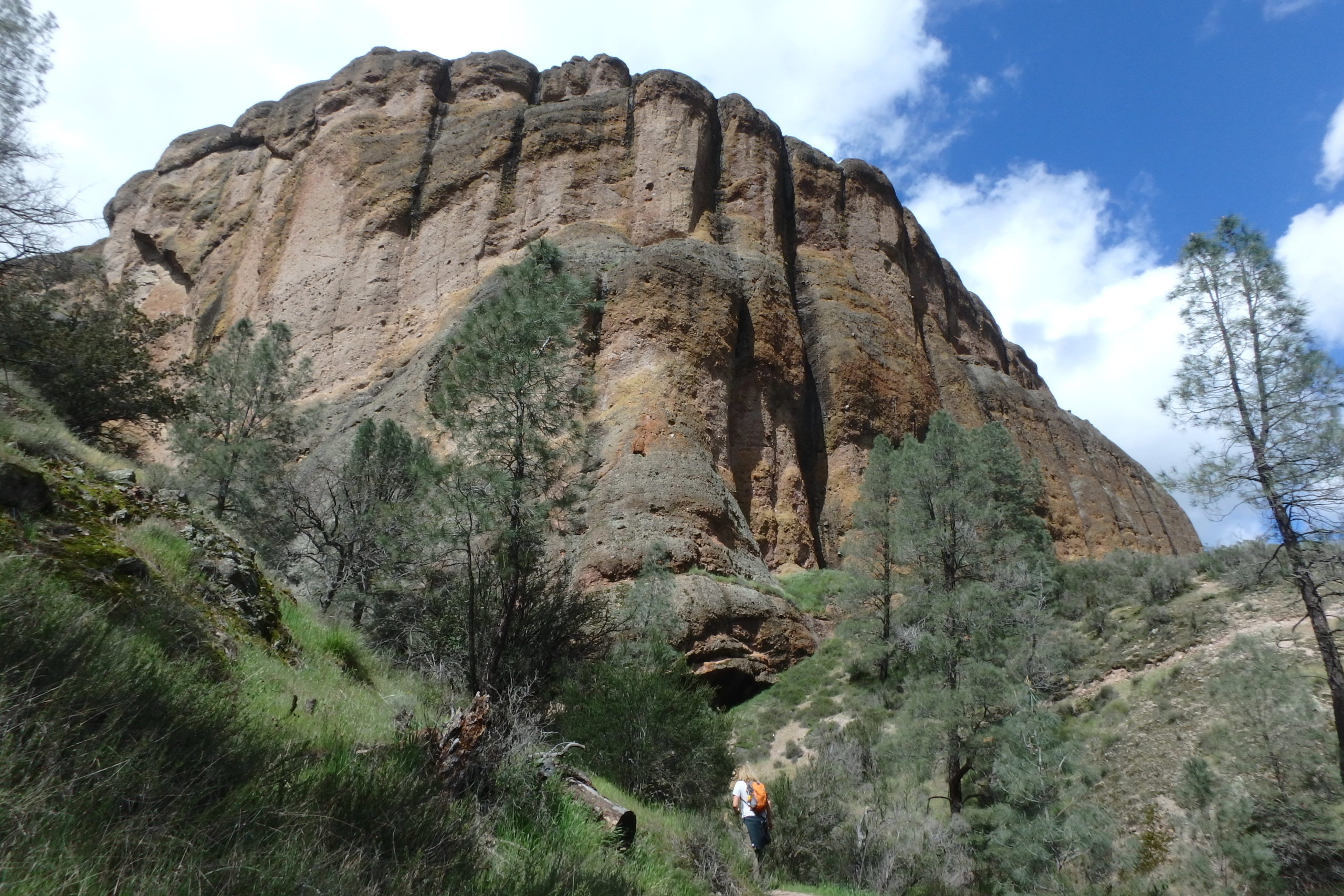
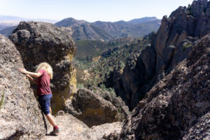
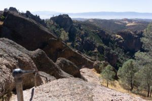
Excellent lunch spot on top of the Balconies.
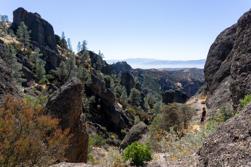
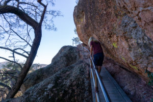
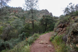
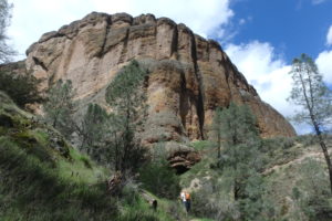
Descending from the High Peaks.

On the Trail
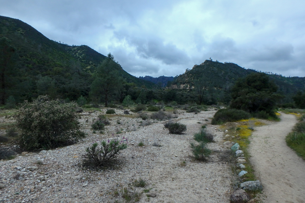
Since there’s no backpacking in this park, we connected a bunch of smaller trails to make a mega-loop for an all-day adventure. We brought lunch and snacks with us, and ended up having lunch perched on a cliff like the park’s famous California condor.
Starting from the campground, you make your way to the group camping area. The trail officially starts at a gate at the far end of the group camping area. This first couple miles of hiking is just to get you from the campground to the “real” trailhead at Bear Gulch Day Use Area. Alternatively, you can also drive to the trailhead if you wake up super early or take a shuttle from the Visitor’s Center.
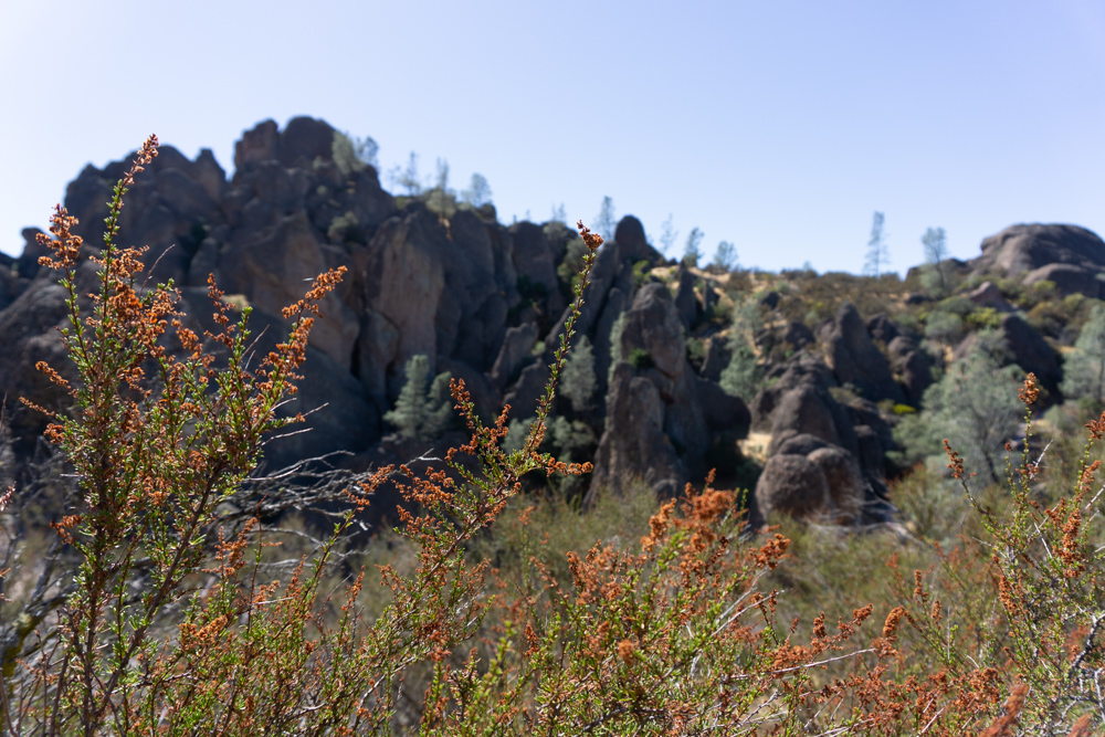
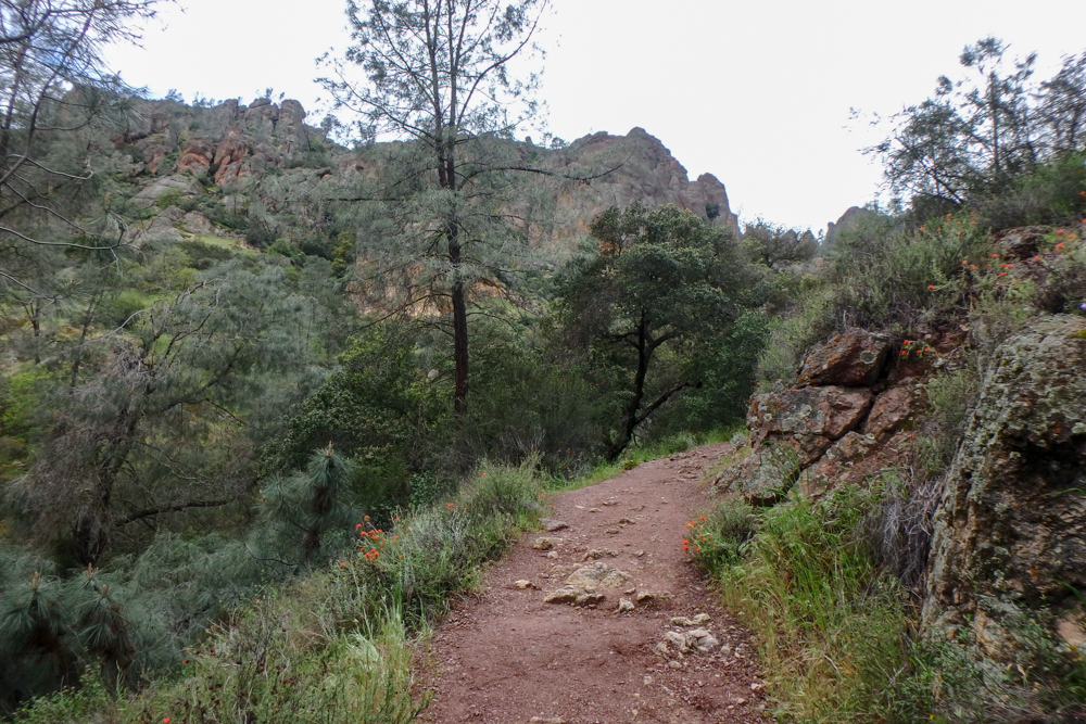
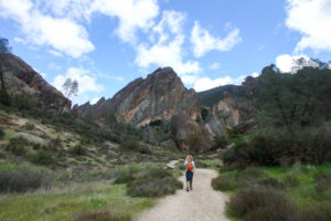
When you get to the Bear Gulch Day Use Area, you’ll see trailheads for two trails: Condor Gulch to the northwest and High Peaks to the Southwest. Both trails are steep uphill walks to the main rock formations of the park. We chose the Condor Gulch Trail because we thought we’d have a better chance of seeing a condor up close (and we did!). These birds are absolutely humongous, even from far away.
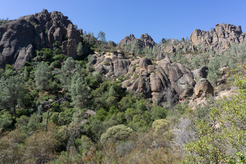
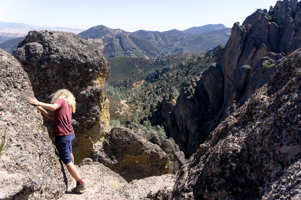
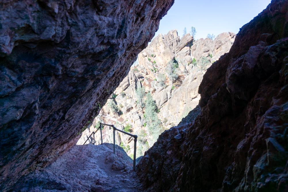
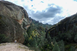
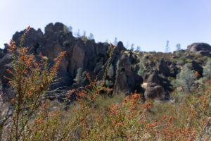
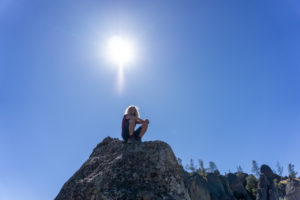
After you do the work of getting yourself all the way up to the pinnacles, there’s a smaller 1.75-mile loop trail at the top that winds through the steepest terrain in Pinnacles. Some stretches of trail are so steep that the park built handrails to help people out. From this area of the park, called the High Peaks, you can also get a birds-eye view of the Balconies (where we’re heading next) and the entire north side of the park. This is also a great place to find a flat rock and bird-watch for the rest of the day.
After the High Peaks loop, head north towards the Chaparral Trailhead parking. The trail to the parking lot is an easy downhill stroll with great views. At the parking lot, there’s no amenities so plan on bringing all the water you need for a full day and on peeing in the wild. When you get to the lot, continue on the only trail towards the Balconies. The trail switches back to uphill but it’s nothing like the intensity of the Condor Gulch trail.
When you get to the Balconies area, you can either choose to take the cave trail or the cliff trail. We wanted to do both so we headed up the cliff trail first and then looped back around to the cave. Along the cliff trail, there’s an air-y viewpoint at the edge of the balconies that is perfect for having lunch. As we sat here having lunch, we felt like giant birds feasting on something we had just caught.
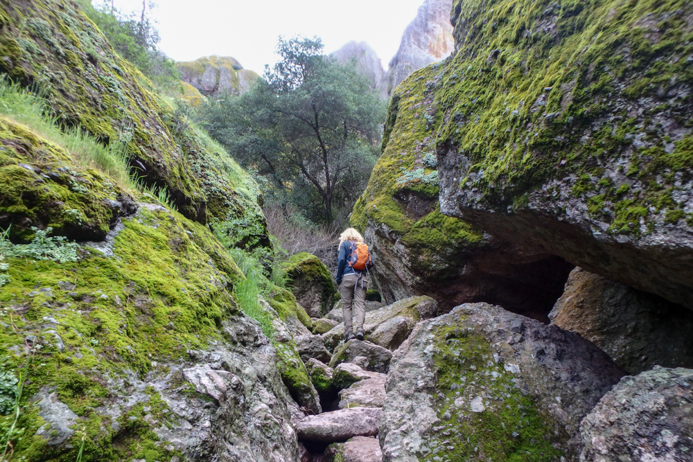
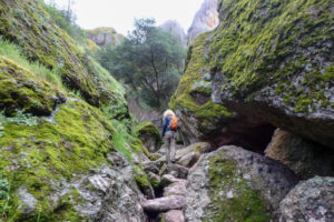
Down below, the cave trail takes you through the small cave underneath the Balconies. These caves aren’t large interwoven systems like in Wind Cave or Carlsbad Caverns (at least they haven’t discovered that yet). They’re more like giant rock piles that have formed passageways in between the rocks. The route was pretty short but it was still fun to descend into the cave-y darkness and maneuver from rock to rock.
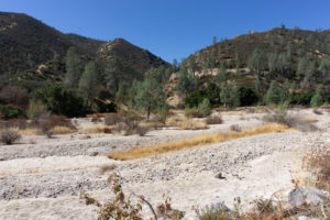
After the cave, you’ll take the Old Pinnacles Trail all the way back to the Bench Trail. This part of the hike was pretty uneventful and we were starting to run out of water, so we blazed past this area. Once we were back on the Bench Trail, we picked up speed a bit more until we got back to camp.

After the Hike
There’s really not much going on around this park. The closest towns are small agricultural towns like Hollister, Gilroy and Soledad. If you head towards the coast, that’s where you’ll find tasty seafood and cute seaside towns. On our drive back home, sometimes we’d stop by Monterey or Carmel-by-the-Sea if we felt like having a little more coast-based adventure before going back home.
Supply List
The Usual List
Backpack
Tent
Sleeping Bag
Sleeping Pad
Sleeping Bag Liner
Camp Stove
Lighter or Matches
Cooking Pot
Food
Water Vessel
Water Filter
Headlamp
Clothing
Trip Specific Things
Wide Brimmed Hat
The sun is a cruel-cruel ball in the sky. To protect my head from the sun, I like to wear my wide-brimmed hat in the desert. Also, I like the way it makes me feel like a true explorer. Bonus points for preventing premature aging caused by the sun – you know you miss spots with that sunscreen.
Water
There’s no reliable water along this trail so you’ll have to pack in all of your water. The park recommends carrying at least one gallon per person per day; however, we always end up bringing more because we’re always thirsty.
Thinking about doing this trip? Have any questions? Comment down below!
More Happy Packers
This loop is a tour through the many wonders of Redwood National including the famous big trees, a moody beach, and the mystical Fern Canyon.
This is the perfect any-season beginner trip for anyone wanting to dip their toes in backpacking.
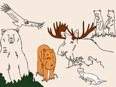
Animals in the wilderness can be scary, but they don’t have to be. Here’s how to feel perfectly at home with the bears and mountain lions.